Building Documentation for Insurance & Restoration Projects
GRAB captures accurate pre-repair conditions with LiDAR scanning — fast. Support claims processing and scope validation with precise existing condition records that hold up.
Documentation for pre-repair conditions
Insurance and restoration projects require accurate documentation of existing conditions before repair work begins. Traditional measuring methods struggle to capture complete building information quickly, particularly in damaged or compromised structures.
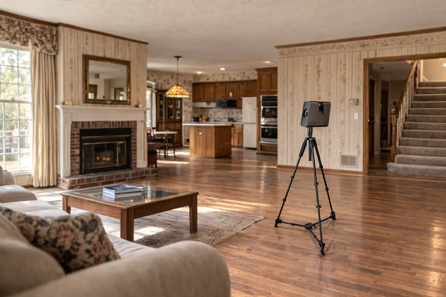
We use our Matterport Pro3 scanner to document buildings rapidly and safely, creating a complete digital record of pre-repair conditions. This documentation supports claims processing, scope validation, and contractor coordination throughout the restoration process.
The result is objective, measurable documentation that serves multiple stakeholders — adjusters, contractors, and property owners — with consistent information about existing conditions and repair requirements.
Documentation applications
- Pre-repair condition documentation
- Claims scope validation and support
- Contractor coordination and bidding
- Progress documentation during restoration
- Post-repair verification and closeout
- Legal documentation when required
Claims support and scope validation
Insurance claims often involve complex scope determinations where accurate existing condition information affects coverage decisions and repair estimates. LiDAR documentation provides objective measurements and visual evidence that supports fair claims processing.
The scan data can demonstrate existing conditions before damage occurred, validate repair scope estimates, and provide contractors with accurate information for bidding and execution. This reduces disputes and accelerates the restoration process.
For adjusters, LiDAR documentation offers consistent, measurable evidence that supplements traditional documentation methods. The scan data includes precise room dimensions, building layouts, and structural details relevant to restoration planning.
Restoration contractor benefits
Restoration contractors benefit from accurate existing condition documentation when estimating materials, planning work sequences, and coordinating with insurance adjusters. LiDAR captures building details that affect restoration scope and methodology.
The documentation eliminates measurement uncertainty that can lead to cost overruns or scope disputes during restoration work. Contractors can bid more accurately and execute work more efficiently when they have complete information about existing conditions.
For emergency situations, LiDAR can document conditions quickly when safe access is available, preserving critical information before conditions change or evidence is lost during stabilization work.
Frequently Asked Questions
How does LiDAR help with insurance claims?
LiDAR provides precise pre-damage documentation that supports claims with accurate measurements and visual evidence. The scan data can demonstrate existing conditions before repair work begins and validate scope estimates.
Can you document damaged buildings safely?
Our Matterport Pro3 system is portable and non-contact, making it suitable for documenting damaged structures when safe access is available. We coordinate with restoration teams to capture conditions at appropriate project stages.
What documentation do adjusters typically need?
Insurance adjusters often need floor plans, room dimensions, and photographic documentation. LiDAR provides all of these in one coordinated dataset, along with precise measurements for scope validation and contractor coordination.