As-Built Floor Plans
Dimensioned plans delivered in the format your team uses.
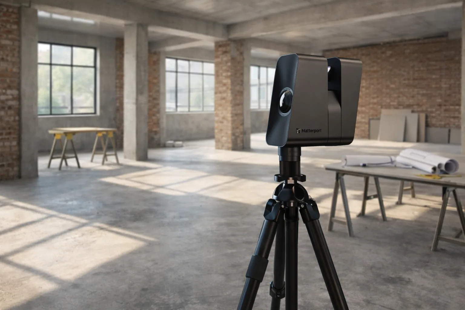
View floor plan serviceGRAB captures your entire building with LiDAR — so GCs, architects, facilities managers, and project managers can work from dependable existing-condition data instead of field guesswork.
LiDAR building scanning replaces slow, incomplete manual measuring with a complete digital capture of the existing structure. Instead of chasing dimensions room by room, the entire building is documented in one visit — a coordinated point cloud that can be referenced later for floor plans, elevations, and modeling.
That matters on renovation work where hidden complexity shows up late. A dependable scan gives your team a shared baseline before design starts, before takeoffs are locked in, and before demo exposes conflicts that should have been caught earlier.
GRAB focuses on construction documentation, not marketing visuals. The output goes to architects, contractors, and project teams who need accurate geometry — not a walkthrough tour.
For Grand Rapids projects with tight schedules, one site visit removes repeated measuring trips and reduces the risk of costly scope corrections. Most projects deliver in 1–2 days. Larger buildings may take up to 5.
Dimensioned plans delivered in the format your team uses.
View floor plan serviceRenovation-ready packages for permits, planning, and claims.
View existing conditions servicePoint cloud data converted into usable Autodesk AutoCAD and SketchUp files by our drafting team.
View this service