LiDAR Building Scanning
Capture the existing building first, then develop deliverables from that dataset.
View this serviceDimensioned floor plans delivered in PDF, Autodesk AutoCAD, Autodesk Revit, or SketchUp. No tape measure errors. Small jobs back in 1–2 days.
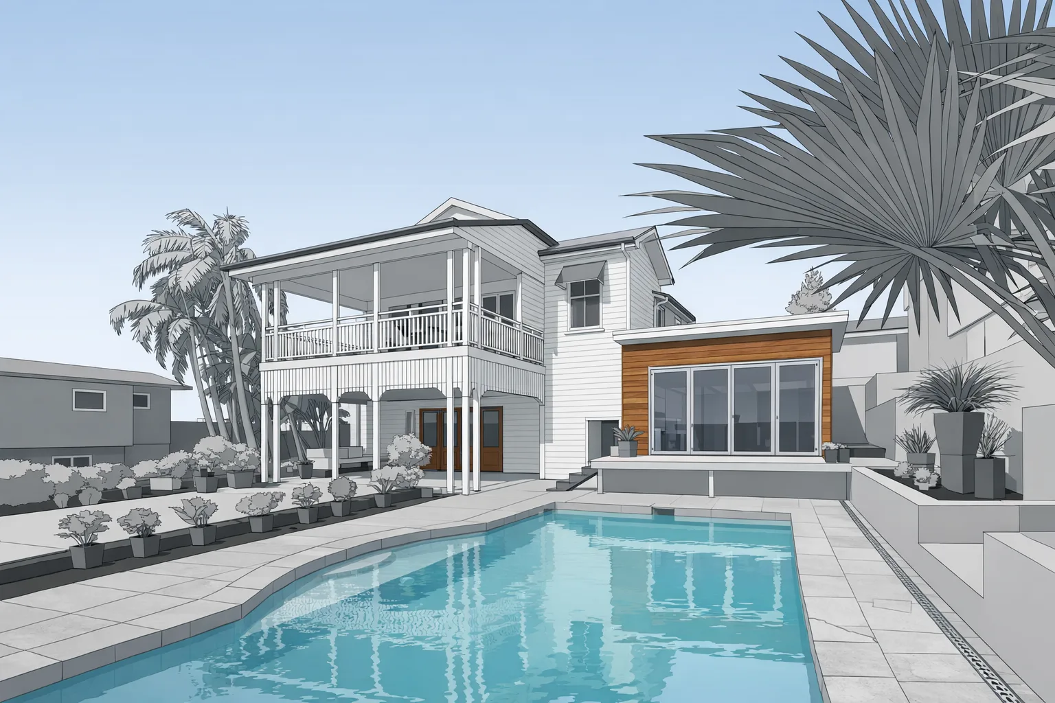
As-built floor plans are only useful if teams trust the dimensions. GRAB LiDAR builds plans from detailed LiDAR scan data so existing walls, openings, circulation, and room layouts are documented with the consistency that renovation work demands.
Traditional field measuring — sending someone out with a tape measure to sketch room by room — is slow, prone to transcription errors, and often misses ceiling conditions, irregular geometry, and structural details that matter for construction. Our building measurement service replaces that process with a single LiDAR scan visit and professionally drafted deliverables back in 1–2 days.
That changes early decision-making. Designers can begin with dependable geometry. Contractors can bid with fewer unknowns. Owners can plan improvements without relying on sketches created under time pressure in the field.
These plans also keep the project team aligned. Instead of everyone interpreting the existing building on their own, the whole team works from the same set of measured drawings.
For projects in Grand Rapids and West Michigan, that means fewer surprises during design development, permit preparation, and preconstruction coordination. Accurate plans become the base layer for everything that follows.
Capture the existing building first, then develop deliverables from that dataset.
View this serviceExpand floor plans into broader renovation documentation packages.
View this serviceConvert captured geometry into editable files for active design work.
View this service